UN
11 Mayfield Way
£ 215,000
Description
We don't have a Description for this property.
- Bedrooms
- 3
- Bathrooms
- 0
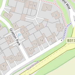

Leaflet © OpenStreetMap contributors
The heatmap indicates the level of crime in the area. The color of the heatmap indicates the crime severity and recency.
Metrics Year-on-Year
- Average area value
- 409,791.00 £Decreased by 9.96 %
- Average area rental value
- 1,455.00 £/moIncreased by 2.46 %
- Est rental Yield
- 4.26 %Increased by 13.90 %
- Crime Rate
- 68.00 %Unchanged by 0.00 %
from 455,126.00 £
from 1,420.00 £/mo
from 3.74 %
from 68.00 %
Nearby Schools
| Name | Type | Ofsted | Distance |
|---|---|---|---|
| St Martin'S Cofe Primary & Nursery School | Voluntary Aided School | Good | 0.31 KM |
| Cranbrook Education Campus | Academy Sponsor Led | Good | 1.64 KM |
| Rockbeare Church Of England Primary School And Pre-School | Academy Converter | 2.28 KM | |
| Clyst Vale Community College | Academy Converter | Requires improvement | 3.35 KM |
| Broadclyst Community Primary School | Academy Converter | 4.06 KM |
Images
Nearby Streets
| Name | Average Price | Average Sqft | Distance |
|---|---|---|---|
| B3174 | £ 480,000 | 0 | 0.00 KM |
| South Whimple Farmhouse | £ 0 | 0 | 0.00 KM |
| Little Wood Close | £ 0 | 0 | 0.00 KM |
| London Road | £ 310,845 | 0 | 0.00 KM |
| Treasbeare Lane | £ 0 | 0 | 0.00 KM |
Nearby Transport
| Name | NLC | TLC | Distance |
|---|---|---|---|
| Cranbrook (Devon) | 9850 | CBK | 1.01 KM |
| Pinhoe | 5757 | PIN | 6.44 KM |
| Whimple | 5759 | WHM | 6.78 KM |
| Digby And Sowton | 5753 | DIG | 7.75 KM |
| Newcourt | 9589 | NCO | 8.19 KM |
Nearby Listings
| Address | Price | Type | Score | Distance |
|---|---|---|---|---|
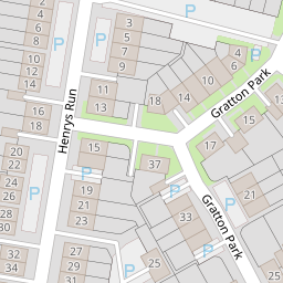
| Mayfield Way, Exeter | £ 210,000 | BUY | 7 / 10 | 0.03 KM |
| Gratton Park, Cranbrook, Exeter, EX5 | £ 240,000 | BUY | Unknown | 0.04 KM |
| Henrys Run, Cranbrook, Exeter, EX5 7AU | £ 260,000 | BUY | 8 / 10 | 0.07 KM |
| Mayfield Way, Cranbrook, EX5 7BE | £ 315,000 | BUY | 7 / 10 | 0.08 KM |
| Mayfield Way, Cranbrook, EX5 7BE | £ 160,000 | BUY | 6 / 10 | 0.08 KM |
Nearby Properties
| Address | Price | Distance |
|---|---|---|
| 53 Mayfield Way | £ 204,000 | 0.00 KM |
| 51 Mayfield Way | £ 180,000 | 0.00 KM |
| 11 Mayfield Way | £ 215,000 | 0.00 KM |
| 17 Mayfield Way | £ 220,000 | 0.00 KM |
| 1 Pitt Park | £ 225,000 | 0.07 KM |